Main menu
Skip to primary content
Skip to secondary content
Therapy Services
Contact Me
My Approach
Quotes
Resources
Human Ingenuity
Nature
Cosmic
Animals
Latest Wonders
Tag Archives:
hurricane hugo
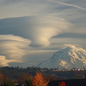
Weird Weather